 |
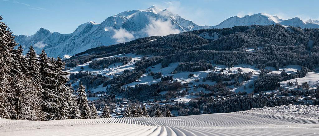
Chamonix Weather Today Saturday 11 May |
|
Fine weather - cool under clear skies this morning - warm this afternoon with moderate diurnal development Cloudiness: clear this morning - a few cumulus clouds above the slopes in the afternoon, gaining a little volume locally - sunshine: 85% The risk of precipitation is low, perhaps a few small isolated showers under the late afternoon cumulus clouds, along an axis Aravis - Aiguilles Rouges Winds according to altitude Temperatures in the valley: Altitude of the isotherms: |
Sunday 12 May |
|
Quickly very mild morning under a veiling sun - very cloudy at the end of the afternoon Cloudiness: hazy sun, then cloudy from the W at the end of the morning - very cloudy in the afternoon, thick cloud banks, but quite high - sunshine: 45% The chance of precipitation appears low – it increases the following night Wind aloft: weak WSW -> weak to moderate SW in the evening Temperatures in the valley: |
Monday 13 May |
|
Uncertain - periods of showers - locally stormy in the afternoon Cloudiness: slightly cloudy to cloudy with sunny spells in the morning - becoming very cloudy in the W - sunshine: 40% Thunderstorms likely in the second part of the afternoon - rain-snow limit around 2600-2700 m Wind aloft: WSW -> WNW weak to moderate Temperatures in the valley: minimum rising - maximum falling |
Tuesday 14 to Thursday 16 May Chamonix Weather |
| TUESDAY: passage of a disturbance from the W, warm front, then cold front - marked deterioration and cooling - morning showers evolving into continuous rain - rain-snow limit likely to drop towards 2500 m at times - SW becoming moderate to strong in the mountains, even gale-force at times WEDNESDAY: gloomy and cool in the wake of the disturbance, low pressure context from S of Ireland to E of the Alps - frequent passages of locally heavy showers, with snow around 2000 m in the morning, higher in the afternoon - S to SW in altitude, at times quite strong THURSDAY: the context remains low-pressure from the Bay of Biscay to Bavaria - cooling and humidity hold up over the Alps, still flowing from S to SW at altitude. |